2021. október 02.
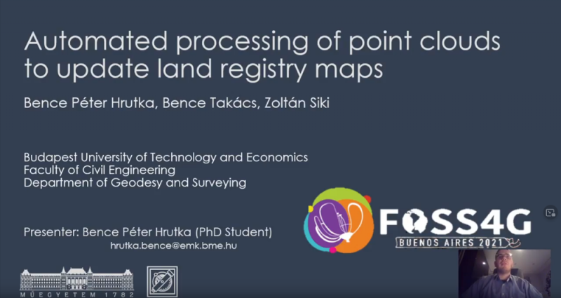
Two members of our department gave presentations on the Free and Open Source for Geospatial (FOSS4G) Conference. The venue of the conference would have been Buenos Aires, because of the COVID situation, the three-day conference was organized online. In addition to the plenary presentations, the conference was held in 12 parallel sections with 1,800 participants. In the academic section, our doctoral student Péter Bence Hrutka presented his results of his MSc diploma project using open source software. An article from the presentation was also published in the online ISPRS conference issue.

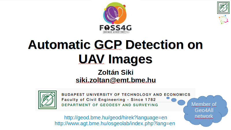
In the software section, Zoltán Siki presented the program developed for the automated generation of image coordinates of ground control points, it was developed within the framework of the department's Geo4All lab.

